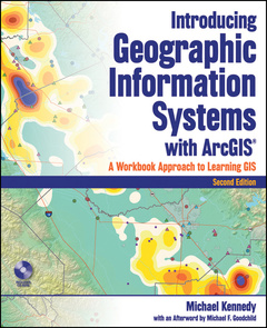
Introducing geographic information systems with ArcGIS (2nd Ed.)
Langue : Anglais
Auteur : KENNEDY Michael

Geographic Information Systems ("GIS," not to be confused with GPS, Global Positioning Systems) are the combined hardware and software tools used for collecting, storing, and analyzing information that is spatially-referenced to the earth. Unique its integration of a broad introduction to GIS with a software-specific workbook for ESRI's ArcGIS, this book provides instructors with a single integrated text instead of the traditional two. Written by an author with over 30 years of experience writing software manuals, this book is easy to read, interesting, and at times, funny, while being totally up to date with the latest ArcGIS release. Updated coverage includes webgis, shapefiles, and geodatabases, and the new edition sports new easy-to-use navigation and project-oriented exercises that allow the student to learn skills as needed.
Introducing Geographic Information Systems with ArcGIS.
Undergraduate students and professionals
Date de parution : 02-2009
Ouvrage de 624 p.
Thèmes d’Introducing geographic information systems with ArcGIS :
© 2024 LAVOISIER S.A.S.


